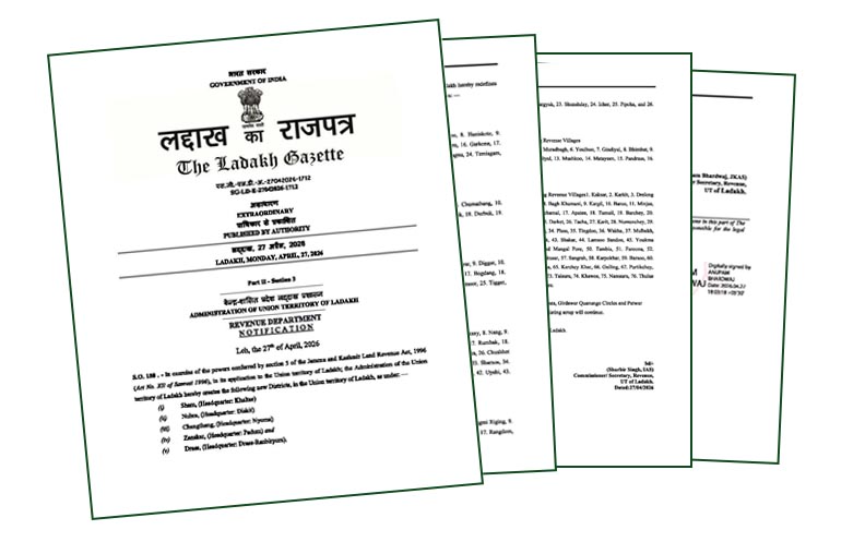
On 27 April, 2026, The Ladakh Gazette (SG-LD-E-27042026-1712) carried a seemingly routine four-page notification. However, it was anything but routine. Under the Jammu and Kashmir Land Revenue Act, the Union Territory of Ladakh created five new districts: Sham, Nubra, Changthang, Zanskar, and Drass. To the untrained eye, this was administrative housekeeping. To those who follow the slow, often opaque contest along the Line of Actual Control (LAC), it marked a calculated step in statecraft.
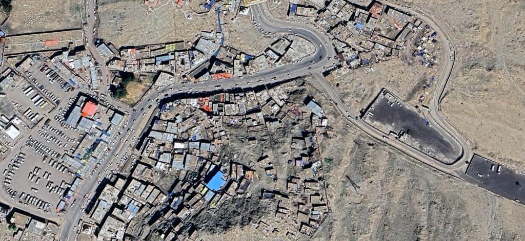
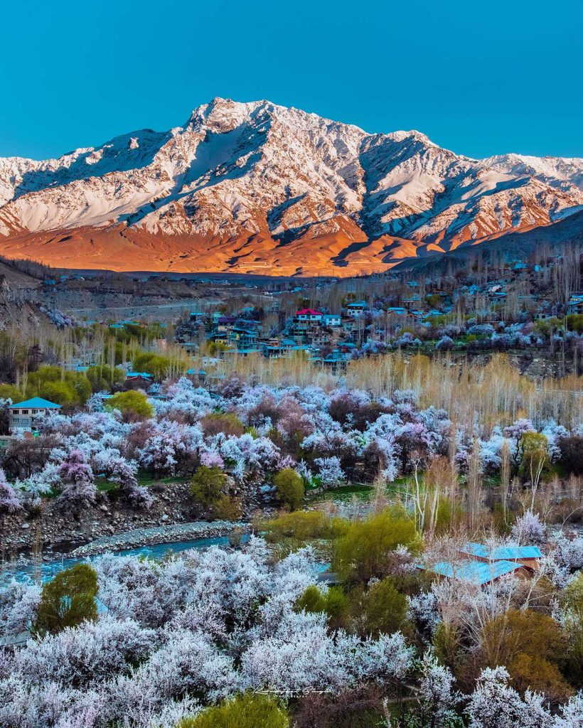
This was not merely redrawing of administrative boundaries. It was India institutionalising its frontier. At the centre of this move lies Changthang District, headquartered at Nyoma. By formally enumerating 24 revenue villages including forward locations such as Nyoma, Chushul, Koyul, Damjok, and Anlay, the notification converts ambiguity into administrative fact.
A territory that exists only as a patrol zone is prone to contestation. A territory that exists in revenue records, with defined jurisdiction, administrative oversight, and civilian presence, is much harder to question. In strategic terms, this is a shift from claimed space to governed space.
It also marks a shift from episodic patrol presence to institutionalised governance embedded in the terrain itself. With Nyoma serving as the district headquarter and a high altitude airbase, civilian administration and military capability are now closely aligned. The result is not just presence, but continuity of control. However, administrative consolidation alone is insufficient unless it is also anchored with durable human presence, which in frontier geographies ultimately depends on viable local economies embedded within ecological limits.
Furthermore, in frontier statecraft, even names carry strategic weight. The notification adopts local phonetic renderings common in revenue records. For instance, ‘Damjok’ for the Demchok sector, ‘Anlay’ for Hanle, ‘Kungaym’ for Kungyam, ‘Kariy’ for Kerey, and ‘Hemya’ for Himya. These variations arise because historical revenue records in Ladakh were not maintained in the Tibetan script or Changthang dialects. They primarily used Urdu and were often documented by officials from outside the region. This created inherent limitations in capturing the precise phonetic and tonal nuance of Tibetic languages spoken on the plateau. Subsequent transliteration into English further distorted original sounds.
While these renderings reflect an attempt to integrate remote Changpa settlements into formal administration, they also underscore the urgent need for toponymic standardisation. In contested regions along the LAC, where nomenclature itself can acquire strategic utility, consistency across revenue records, Survey of India maps, military documentation, and historical cartography is essential. Precision in naming, grounded in authentic local phonetics, is not cosmetic. It is foundational to durable sovereignty.
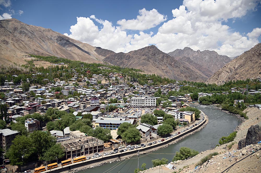
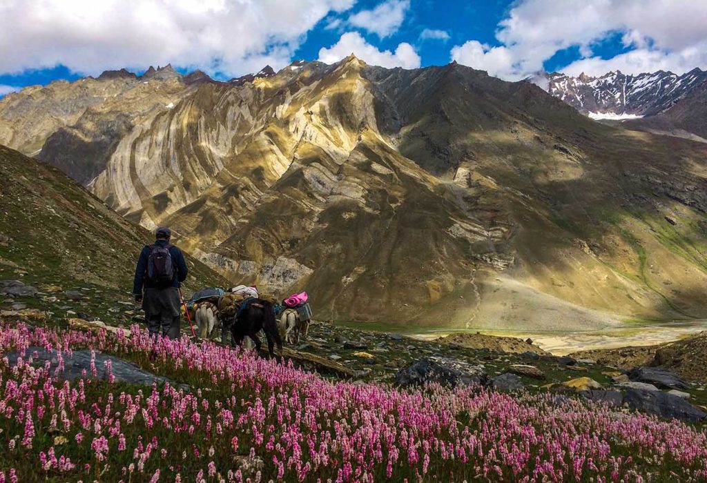
The deeper challenge, however, is demographic. The Changpa nomads have long sustained human presence across this harsh plateau. Yet younger generations are drifting away to Leh and other urban centres, drawn by education, income, and stability. If this out-migration accelerates, India risks a paradoxical situation with stronger administrative structures but thinner human presence on the ground; a gap with direct strategic implications.
The answer lies in making Changthang economically viable for its own people. The pashmina economy must evolve from raw wool extraction into a value-added ecosystem encompassing design, branding, processing, and global marketing anchored locally.
A promising livelihood model lies in value-added yak dairy production, particularly hard and soft yak cheese (locally Churpey). Nepal’s highland communities have already demonstrated how the same product can be transformed into a global export success, marketed as ‘Himalayan Dog Chews’ and ‘Bone Candy’, which sustain pastoral economies at scale.
Ladakh has begun to show similar potential. Thenlay Nurboo of Nordic Farm, Durbuk, recently won a Gold Medal at the Mundial do Queijo do Brasil 2026 for his Yak Churpey (soft). With proper scaling, quality certification, and locally-anchored processing and branding that preserves authentic nomenclature, Churpey-based products, whether for gourmet consumption, wellness markets, or premium pet nutrition, can become a high-margin export ecosystem. More importantly, they can generate stable income to anchor habitation in this frontier region.
Complementing this, the cultivation of high-value Sowa Rigpa medicinal plants such as Resilient Stonecrop (Rhodiola imbricata), Ephedra (Ephedra gerardiana), and Pink Arnebia (Arnebia euchroma), species adapted to the plateau’s extreme ecology, offers a parallel livelihood pathway. Supported by institutions such as the National Institute of Sowa Rigpa, these plants can be integrated into nutraceuticals and traditional formulations, creating culturally resonant income streams while reducing pressure on wild populations.
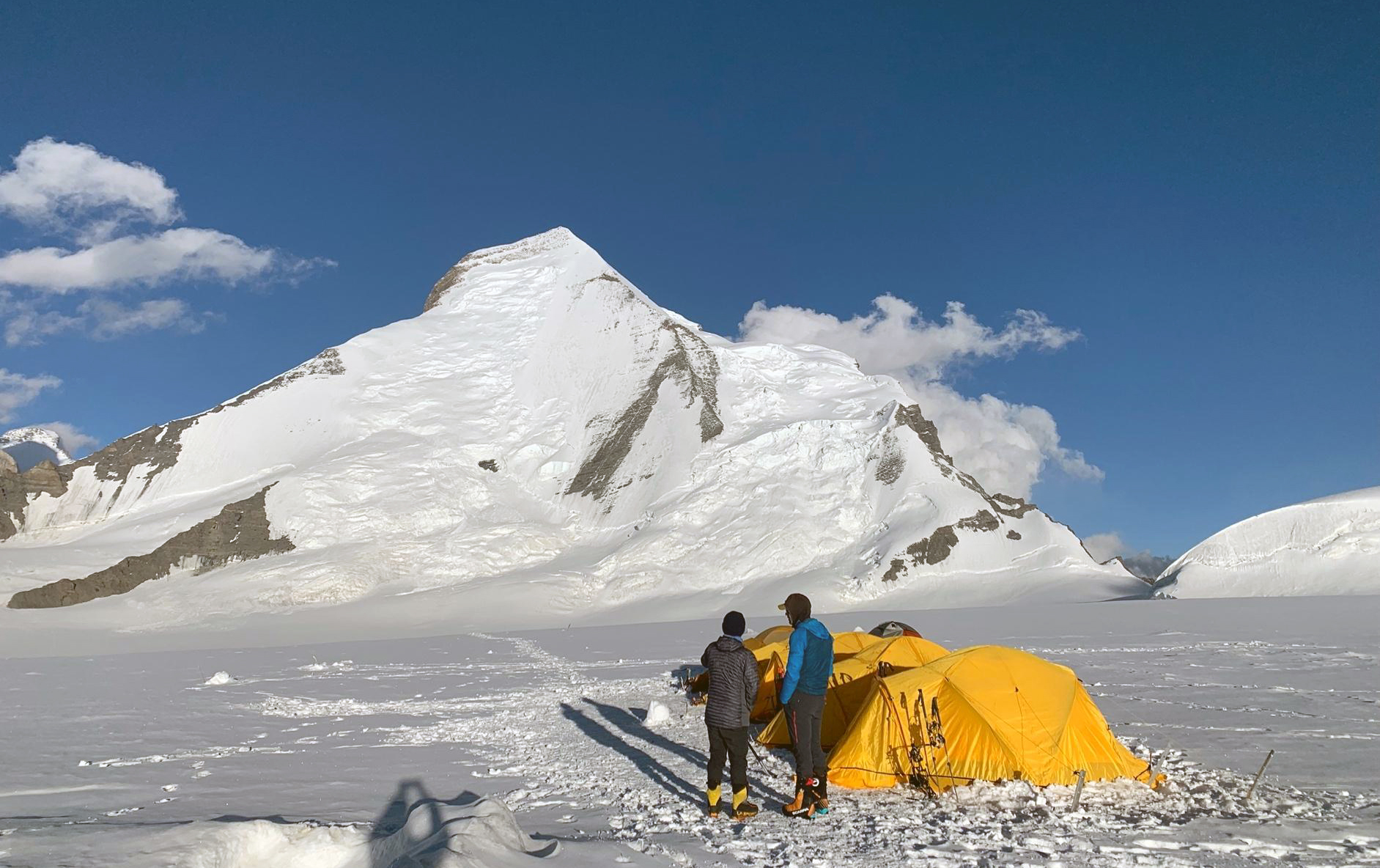
Similarly, Changthang’s geothermal assets, particularly the hot springs at Chumathang, Demchok, and Puga valley, the latter representing India’s most significant geothermal energy prospect in the region, extends this logic further. Alongside their therapeutic role, they open a long-term pathway toward high altitude energy experimentation and sustainability. Integrated with efforts to conserve dark sky through the creation of Hanle Dark Sky Reserve can evolve into a rare convergence of ecology, energy, and astronomy-linked tourism.
Equally critical is how development is structured. While Changthang’s solar potential is widely recognised as a strategic asset, large-scale installations can disrupt fragile grazing ecosystems by altering solar radiation, soil moisture patterns, and wind flow to change microclimates. Elevated solar infrastructure is not ecologically neutral and should not be assumed as a viable model for pastoral landscapes. Evidence from similar cold steppe and desert systems, including the Mongolian plateau, suggests that fixed arrays can impose long-term constraints on the nomadic pastoralism practiced by the Changpas.
A more cautious pathway would be to carefully explore site-specific, grazing-sensitive agrivoltaic designs. These would require high clearance structures, wide spatial spacing, and clearly defined migration corridors, supported by genuine community-led pasture mapping, co-management frameworks, and multi-year ecological monitoring to determine its continued viability. Energy security and livelihood security must therefore be treated as co-dependent objectives, not competing imperatives.
The elevation of Nyoma is deliberate, not incidental. A remote administrative unit is now positioned as a forward node where governance, logistics, and air power converge. This reflects a longer-term effort to consolidate presence. Through Changthang district, India is signalling a shift from guarding borders to structuring them.
The notification is only the first step. Its success will depend on execution, including clean revenue records, systematic toponymic harmonisation rooted in local phonetics, economic anchoring of local communities, and ecologically-informed development. India has drawn the lines. The real test lies in sustaining them through consistent governance, presence, administration, and continuity. In the high altitude expanses of Changthang, sovereignty will not rest on declarations alone. It will depend on whether governance takes root and endures. The map has been written. The task now is to ensure it holds.
By Phuntsog Tsering
Phuntsog Tsering is former Deputy Advisor, Ministry of Defence, Government of India.